Collins Children's World Map, By: Collins Kids
- Extra 10% OFF - Use Code DSSUMMER24
- View Offer Details

zoom_in Click to zoom


Collins Children's World Map, By: Collins Kids
AED34.80
Inclusive of VAT
AED38.67
10% Off
Inclusive of VAT
To be delivered within 3 business days
Shipping/Delivery
3Free Shipping
Payment Option
Cash-on-delivery

Return Policy
30 day returns. Buyer pays for return shipping. Terms & conditions apply.
Product Description
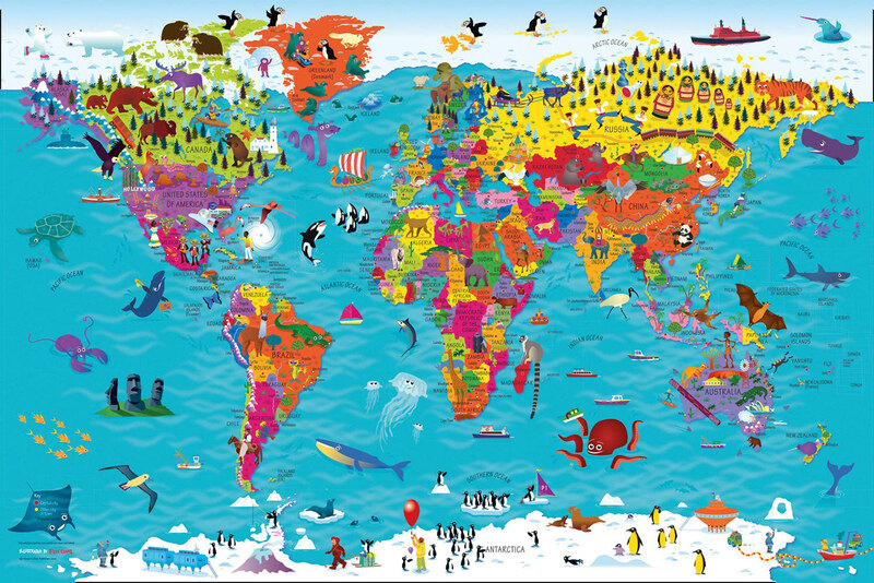
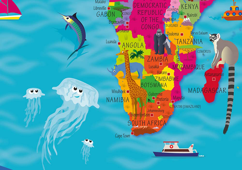
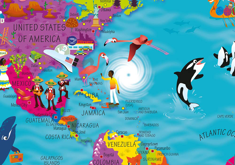
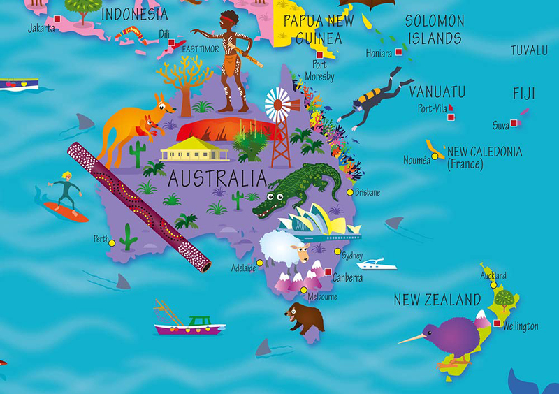
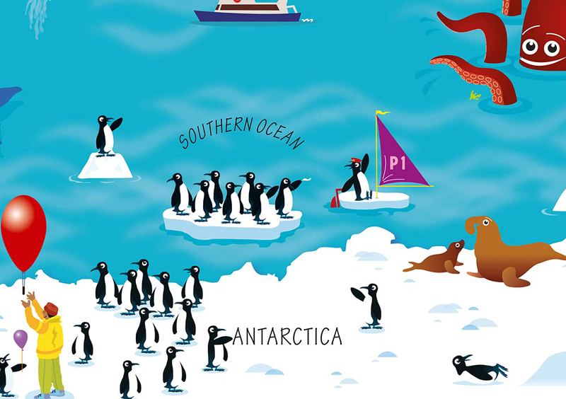
Beautifully illustrated wall map for inquisitive kids Colourful Illustrated Map of the World. This bestselling, highly illustrated pictorial map is designed to take children on a journey of discovery around the countries of the world. The mapping is up-to-date, colourful and highly informative and shows countries and capital cities. Stunning illustrations are used to depict themes such as national emblems, customs, food, birds, animals, buildings and sports to help younger readers gain an understanding of the world.
About the Author
Steve has many years professional experience of collaborative practice with the major educational publishers, editors, in-house designers and authors. His creative practice includes illustration, logo design, cover design and full series design including online resource. His primary passion is for children's illustration and this is demonstrated in his creation of the new Collins Picture Atlas alongside the accompanying World Map and, more recently, the map of the United Kingdom & Ireland.
Specifications
- Books Author: Collins
- Number Of Pages: 1
- Language: English
- Publisher: HarperCollins Publishers
- Books Category: Reference
- Book Format: Unspecified
- Books_ISBN: 8319790
- Other Feature 2: Weight: 100 grams
- Other Feature 3: Size: 600 x 900 x 30 mm
- Publication Date: May 16, 2019